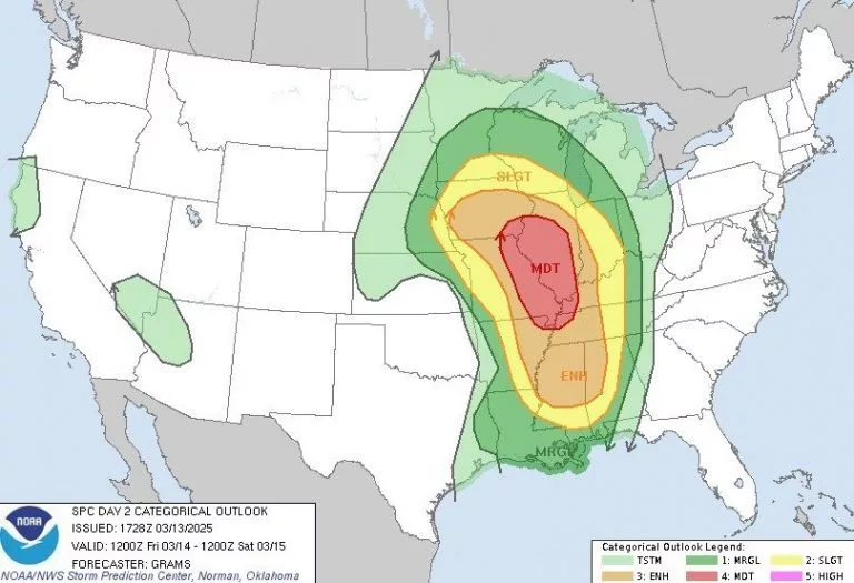
Parts of the country are in for some severe weather Friday and and Friday night, and Berrien County sits right on the edge of area most likely to be affected.
National Weather Service meteorologist Mark Steinwedel tells us a big storm system is developing across the plains.
“That’s going to send an arcing line of showers and thunderstorms towards the Chicago area and into northwest Indiana during the evening hours, especially into the early overnight,” Steinwedel said. “Timing would be maybe as early as 11 p.m. Friday, but as late as getting around 2 or 3 in the morning Saturday.”
Steinwedel says this storm will likely send some high winds Berrien County’s way, meaning possible power outages. That won’t be until late, though, as he says most of Friday will be in the 70s and breezy.
“It’ll feel great during the day, but yeah, the time to watch for those winds that could cause some problems would be towards the midnight hour Friday night.”
Steinwedel says he can’t rule out the possibility of an isolated tornado with the storm just to the west of us.
Anyone planning a trip to Chicago Friday night might want to reconsider.